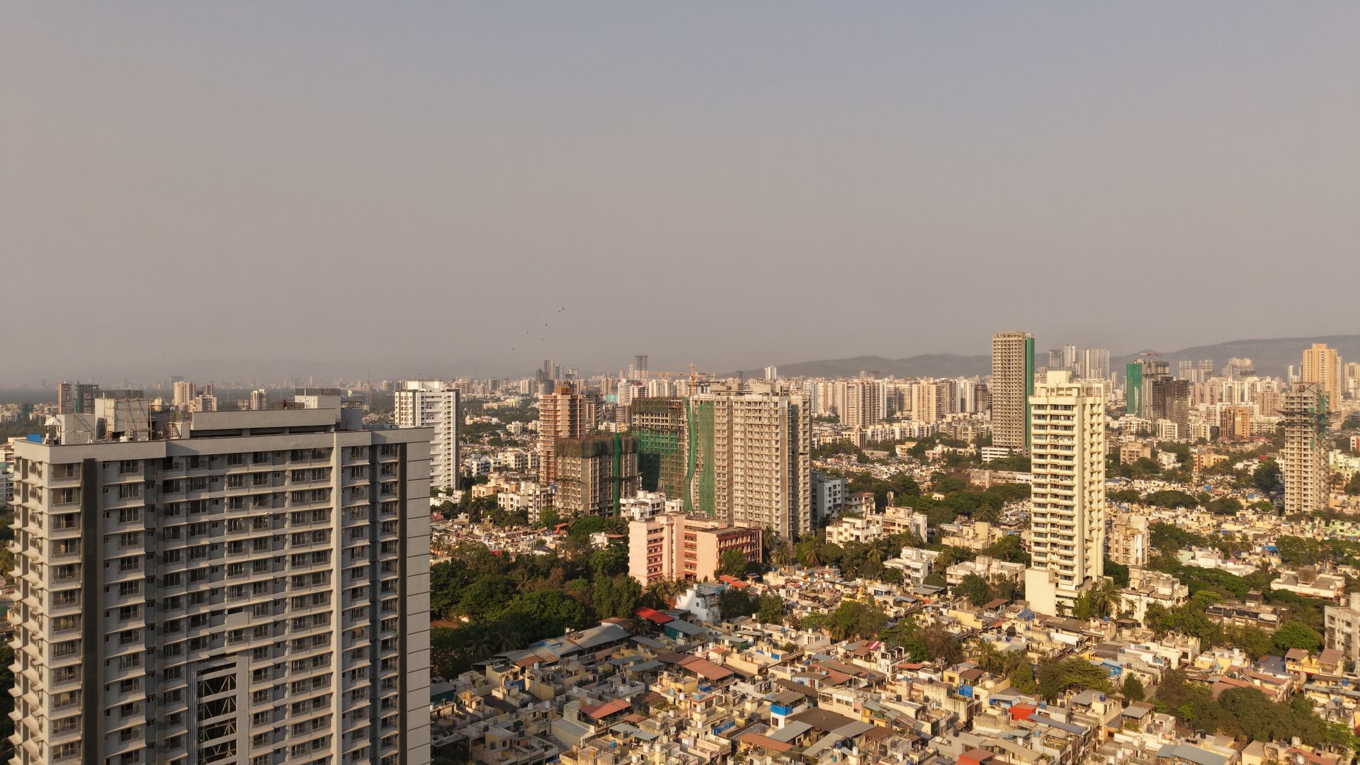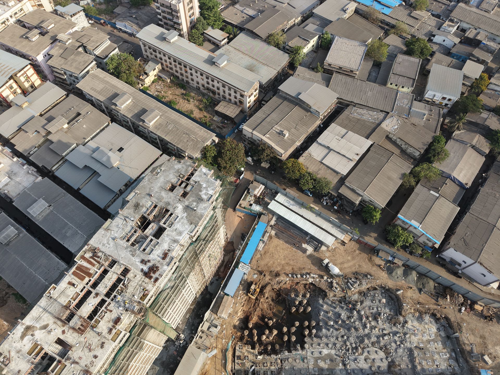
Dholera SIR • Gujarat

Explore Dholera. Understand the Opportunity.

Explore Dholera SIR projects, infrastructure, connectivity and location context in one premium property information platform.

ProjectsResidential • Commercial • IndustrialConnectivityRoad • Air • Rail • PortDholera SIRPlanning & infrastructure context
01Project discovery
02Location & planning context
03Connectivity overview
04Site-visit assistance
Dholera SIR

A planned region shaped by infrastructure

Dholera SIR is presented as a large greenfield development with industrial, logistics, residential and urban-planning components. Review the development framework alongside any individual property.
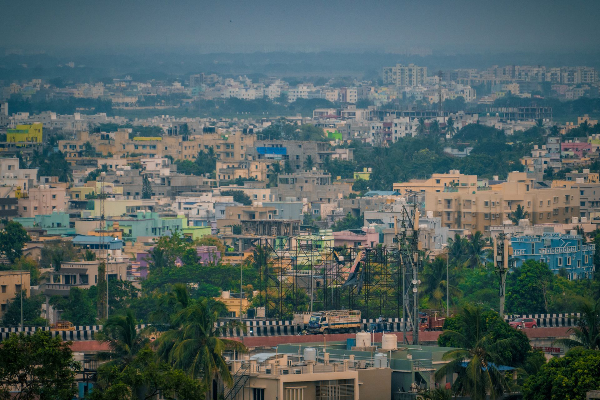
Explore Dholera SIR
Dholera SIR planning and infrastructure
Greenfield planningIntegrated land-use and infrastructure framework
Industrial ecosystemManufacturing, logistics and related commercial activity
Multiple transport layersRoad, airport, rail, freight and port connectivity
Due diligence firstVerify title, approvals, land use and current project status
Featured Projects

Explore project formats around Dholera

Use project pages to compare location, property type, documentation information and available site-visit details.

Dholera reference site 5004 reference project
Reference Project

Dholera reference site 5004

Residential township reference with project-location, amenity and connectivity information.

View Reference
Dholera reference site project reference
Project Visual

Dholera Residential Development

Master-planned residential visual reference for plots, roads, landscaping and built-form concepts.

View Reference
Dholera SIR planning reference map
Dholera SIR

Planning & Location Context

Reference map covering Dholera SIR land-use and wider DMIC connectivity context.

Explore Reference
Tip: Add your own projects from WordPress Admin → Projects → Add New. Your own project cards will automatically replace these reference cards.
Connectivity

See Dholera through four connectivity layers

Explore road, air, rail and sea access. Treat planned, under-construction and operational infrastructure as different statuses and verify current conditions.

Full connectivity guide
Research before you visit

Property is easier to evaluate when the location story is clear.

Compare the exact project location with roads, planned infrastructure, surrounding development, land-use planning and documentation. Keep these pieces together before making decisions.

Plan a Site Visit →
01Check the exact location and approach road
02Review land-use and planning context
03Separate proposed infrastructure from operational assets
04Verify title, approvals and project documents
Reference insights

Build context around every property decision

Residential township examples
Project

Residential township examples

Project pages can showcase residential plotting formats, amenities and location-oriented information.

Master-planned urban form
Development

Master-planned urban form

Project visuals can help visitors understand planned roads, plots, landscaping and built-form concepts.

Regional market context
Context

Regional market context

Use regional connectivity and economic context as supporting information, not as a substitute for project-specific verification.